

UK Habitat Classification (UKHab) surveys provide a standardised system for mapping and describing habitats across the UK. The system is now widely used in ecological assessment and forms the basis for Biodiversity Net Gain (BNG) habitat evaluation.
Serotina Ecology provides detailed UKHab surveys to accurately map habitats, assess habitat condition, and support ecological assessment for planning and land management projects.
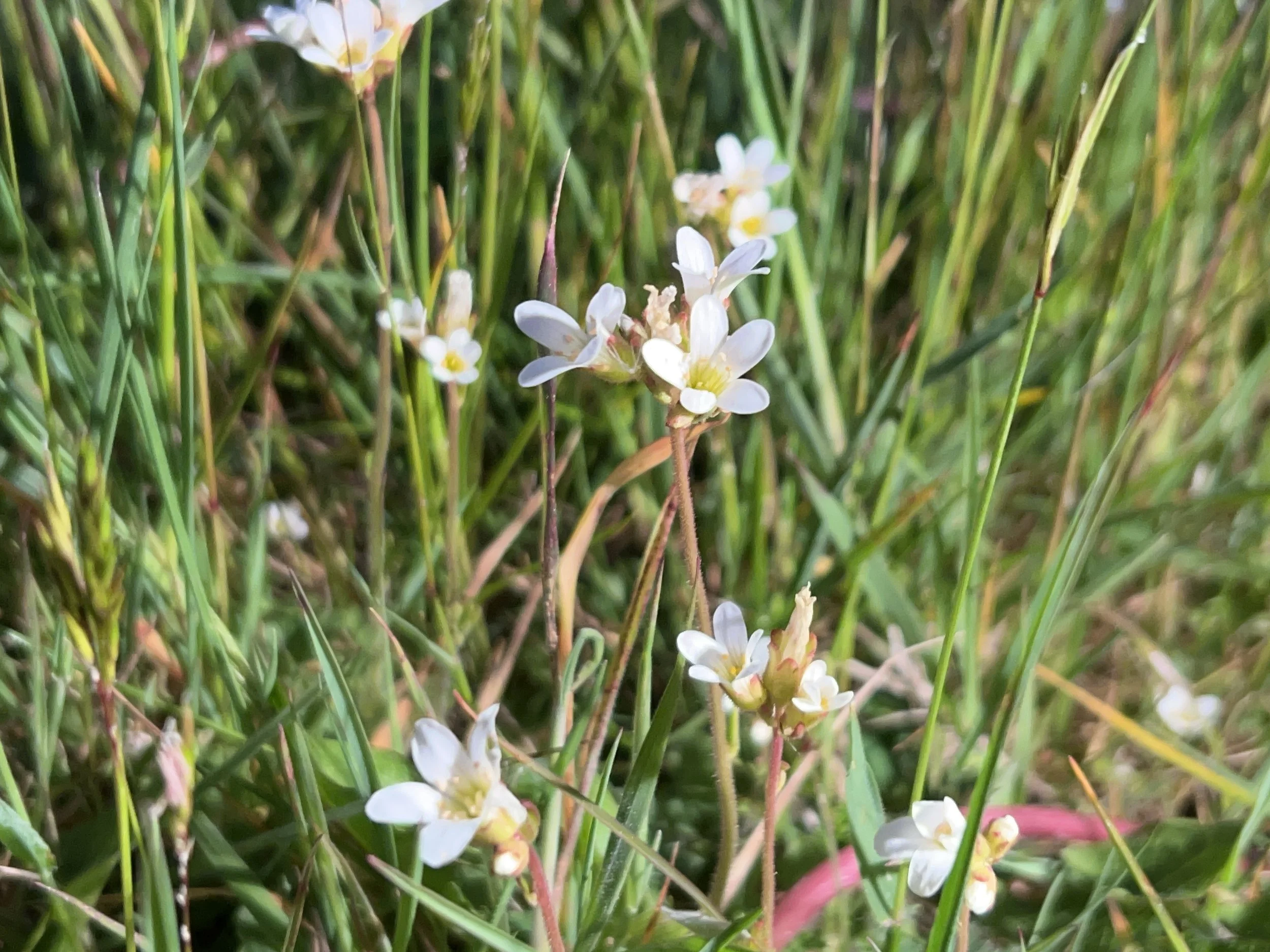
UKHab surveys can be undertaken throughout much of the year, although the optimal botanical survey season runs between April and September, when habitats and plant communities can be assessed most reliably.
UK Habitat Classification (UKHab) Surveys
Surveys typically include
UKHab habitat classification and mapping
Target notes describing key ecological features
GIS-compatible habitat maps
Interpretation to support ecological assessment and reporting
Typical uses
Planning and Ecological Impact Assessment
Biodiversity Net Gain baseline surveys
Habitat restoration and conservation management
Ecological monitoring.